James Crawford | Source | CEO at Orbital Insight
James Crawford
CEO at Orbital Insight
Recent Quotes
Sign up to view all
-
We were able to use the (anonymized) cell phone data to actually track the (farm) trucks from parking lot to parking lot and count the number of trucks going to each parking lot and give (Unilever) a map … of what their supply chain actually looked like, all the way back to the (oil palm) concessions.
Media
Sign up to view all
-
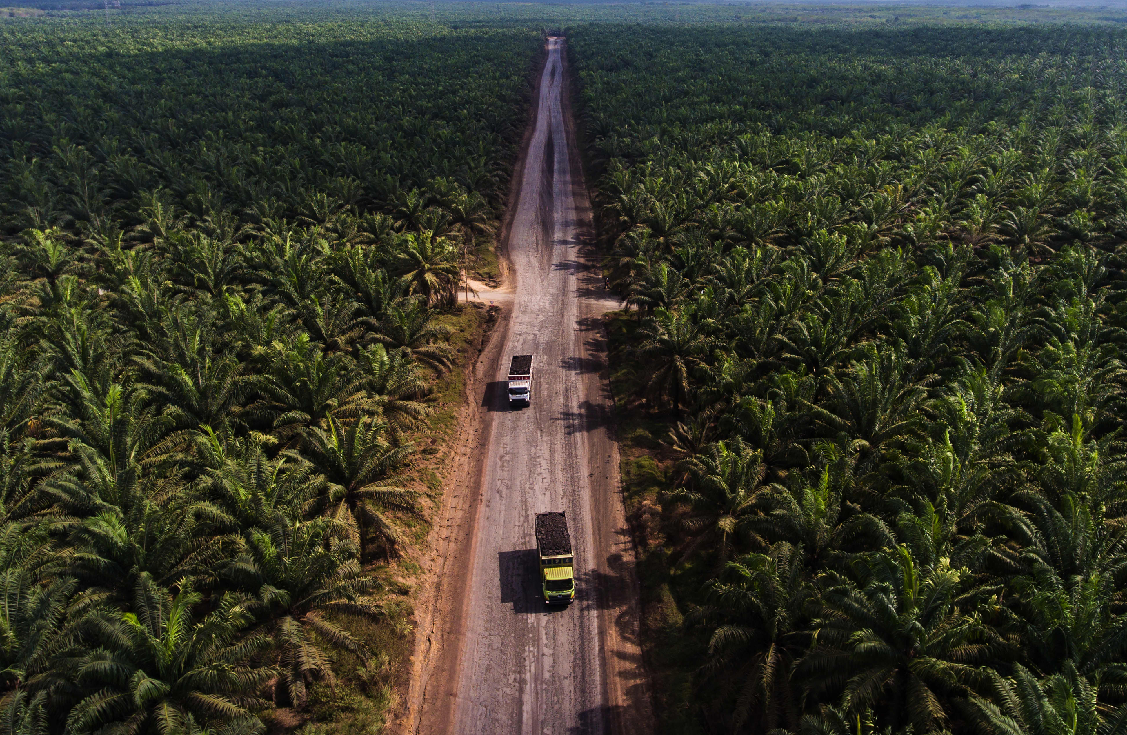
Unilever is using geolocation data and satellite imagery to check for deforestation in its supply chain
It's relatively straightforward to see via satellite imagery where deforestation has occurred, but harder to identify whether Unilever's suppliers have sourced crops from those areas.
Article
Employment
Sign up to view all
-

Orbital Insight
CEO
Popularity
Twitter Feed